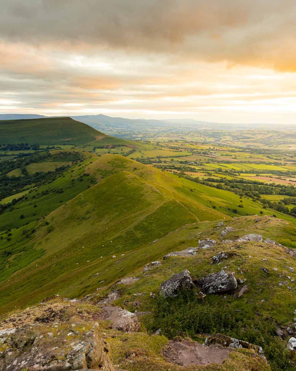
We’re big fans of ridge walks, and having recently hiked the gorgeous Fan y Big and Llyn y Fan Fach Circuits, we were on the lookout for our next ridge line adventure. With a name like the Dragon’s Back, this one had a lot to live up to, and I’m happy to say it was even more beautiful than we hoped for!
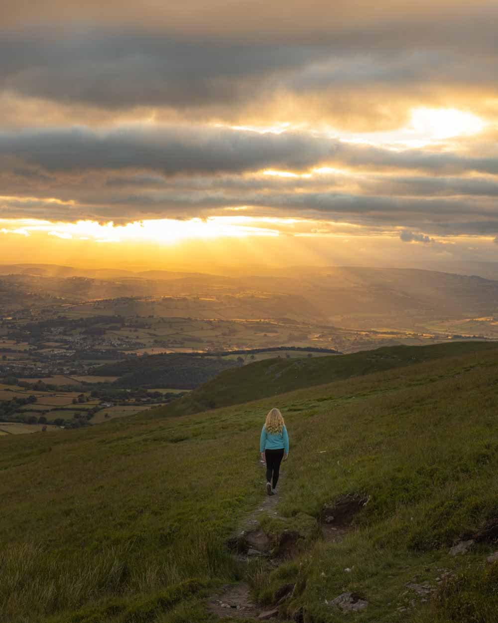
Being crowd averse and fans of photography, we decided to spice it up a little bit and plan the hike so that we were descending the Dragon’s Back for sunset. Although it would be stunning at any time of day, heading along the ridge bathed in golden light was something we won’t forget in a hurry!
In this guide we’re sharing everything you need to know about the walk; including trail conditions, and of course what it’s like to go for sunset if you’re also keen on a twilight adventure!
The Dragon’s Back and Waun Fach Circuit
The stats
Distance: 7.6 miles (12.2km) circuit
Elevation gain: 675m
Difficulty: Moderate - hard
The Dragon’s Back and Waun Fach walk has quite a bit of elevation gain, but also plenty of leisurely sections in between the ups and downs. The trail conditions are generally pretty good, with less slippery sections than on many other trails in the area.
Although there are some short sharp descents, most of the downhill walking is relatively gradual - at least by Welsh standards anyway!
The caveat here is the weather, as walking on a dry day like we did made the track considerably easier than it would be when wet. Sections that were straightforward for us, could definitely become a slip and slide after rain. In an ideal world you also want to walk on a day with low wind.
The track is very exposed and once you’re up on the ridges, you are going to feel the full force of the elements.
The walk is not signposted at any point, so you’ll want to have a map downloaded. We have also written exact directions below.
Which direction to walk: clockwise or anticlockwise
We walked the trail in an anticlockwise direction, which is the route we’d recommend. The highlight of the walk is traversing the Dragons Back spine, and if you’re heading anticlockwise you are facing the views the whole way, which really maximises the wow factor. This also works perfectly for sunset.
Beyond the views, we also think the descent along the Dragons Back had less potential for slipping than descending via Waun Fach - that’s because the path is rocky with some loose soil on Waun Fach, as opposed to grassy along the Dragons Back.
Starting the trail
The start of the trail, whilst pleasant enough, is not going to blow you away. It’s a flat and leisurely beginning though, so it’s good for an easy warm up.
From the car park the track takes you down a few steps and then right, into a short stretch of woodland.
After 75m you’ll reach a stile and this is where you decide which direction to walk the track in. When opting for anticlockwise, you continue straight on, through the woodland, avoiding the stile.
This part of the walk does have some muddy patches, for us it was nothing you couldn’t easily traverse round, but I can imagine in wetter times it could be really quite squelchy!
After 450m you’ll come to a junction with a camping area and head left. After another half a kilometre you’ll come to a road and head very slightly left.
Luckily the road is not busy and is actually quite scenic, so it’s not too much of a hardship. After a couple of hundred metres, the road heads briefly downhill and curves right, past the Brecon Bunkhouse.
From here you begin the climb. You have another 400m to go on the road before you head right (at the 1.5km mark) and you’ll almost immediately see a bridleway on the left.
The climb begins
You’ll continue heading uphill, this time on a stony dirt path. You’re mainly walking between trees with little in the way of views for the first few hundred metres.
You’ll pass through a number of gates and then the track will steepen, but your reward is the start of some lovely views.
The path is steep but easy to follow, and you’ll find yourself stopping regularly to look back at the vista from an ever loftier position.
At the 2.9km mark you’ll come out to an open grassy area and the path disappears. The good news is you can see a cairn on top of a hill in the distance, and this is where you are aiming for, so you can’t really go wrong.
The cairn is 800m away from where the track becomes indistinct and you are climbing the whole way, but it’s a little less steep for the most part.
Once you reach the cairn (3.7km into the walk) you will be exposed to the full brunt of the wind. We had almost no wind whatsoever until this point, but up on that ridge it was ferocious!
The trail continues to the left and after 350m reaches a small hump. We walked over the top which had a very short section of rocky terrain which was easy enough, but you could also skirt around it if preferred.
Reaching the top of Waun Fach
After you reach the top of the hump, you now have a lovely flat section along the ridge, which lasts for almost a full kilometre. The path is in excellent condition and the views are very pretty.
If the wind isn’t howling, this will feel really leisurely. After that, you have the final climb up to the top of Waun Fach.
It’s only 650m long and the gradient slackens towards the end, before you reach the stone marker and the high point of the track.
I’d like to say it’s all downhill from here, but there are a few kinks in the dragon’s tail! However, for the most part you have done all the climbing and the next section as you head towards the Dragon’s Back is both easy and incredibly scenic.
Although a huge amount of cloud rolled in, we still had some fabulous light over the mountains and as we begun gently descending, we could really take it all in.
From Waun Fach there is just over 1.5km of track which though technically descending, is so gentle as to feel pretty much flat.
The views along this stretch are seriously gorgeous and it’s from this point on that I felt the walk was beginning to compete with other trails we’d done in the Brecons.
Descending the Dragons Back (aka Y Grib)
At the 7.5km mark, (1.6km beyond Waun Fach) you’ll reach a large cairn and the real descent begins. You’ll see a grassy trail on the left and begin heading downhill, with stunning views over the endless peaks.
After 500m, you’ll reach another cairn and there is a short but very steep section.
It’s on a grassy trail, so when dry, it’s not slippery. The track then continues downhill, but less steeply and the views have all the wow factor, especially as we were walking into the sunset.
After another kilometre you reach yet another cairn and before you get close to it, it looks like the trail drops off a cliff.
This happens a few times as the descent continues, but there’s always a trail hiding just beyond the edge. There are a few rocky sections, but it’s never for too long before the trail improves again.
Roughly 2.5km into the descent you have a very small hump to climb, but it’s only 350m of uphill to do before you reach the top and begin descending again.
There is another 550m of descent - the last part of which is quite steep, but there are footholds worn into the dirt to give stability - before you reach the sting in the dragon’s tail.
A final steep climb! It only lasts for 200m, but you’re now 11km into the trail, and it’s the steepest part of the whole walk!
Castell Dinas lies at the top of the hill, although all that remains is a ruin and if we’re honest, it was already getting a bit too dark to fully appreciate it!
Finishing the circuit
The walk now continues descending, gently at first, but you soon come to a fence line. From here you have two choices: you can stick close to the fence, descending very steeply, or veer right to take the more gentle approach.
We went for gentle and reached the stile 400m after leaving the top of the hill. There is then a second stile and yet more descending.
The next section through the field is extremely steep, on a grassy path that had some footholds, but also required walking sideways (or maybe that’s just me!).
Roughly 500m beyond that second stile, the steep descent ends and you head over another stile, which takes you back into that original patch of woodland.
You head right at the stile and then you’ll quickly see the path on the left, which leads up to the car park, less than 150m from the stile.
Walking the Dragons Back for sunset
You’ll get sunset views basically from the top of Waun Fach all the way down the Dragons Back. The best of which are the 5km on leaving Waun Fach. We aimed to begin this section around an hour to 1.5 hours before sunset and finish the majority of the walk in the twilight.
We left Waun Fach at 8.30pm and got to the car park before it was fully dark, at 10.15pm. I’m a slow descender and we were taking lots of photos and videos, but hopefully this gives you a little indication as to how long it might take.
We do a lot of sunset and night hiking so this isn’t a problem for us, but if you haven’t done much walking at this time, you might want to start with the Sugar Loaf, which is a much shorter and more straightforward descent, all of which can be completed in the twilight.
Parking for the Dragons Back and Waun Fach Circuit
Parking for the walk is at the car park beside the The Dragons Back Pub & Bunkhouse - postcode LD3 0EP. The car park has a flat fee of £2 and it’s paid via the honesty box. If you pop into the pub after your walk you’ll get a free pot of tea, so it’s basically free to park, or a nominal fee depending on whether you fancy a cuppa!
The car park is quite small and does fill up on sunny weekends, especially in summer or the school holidays. You’ll want to come early or later in the day at these times.
The car park is located a 15 minute drive from Crickhowell, 20 minutes from Brecon, 45 minutes from Merthyr Tydfil and 25 minutes from Abergavenny.
Note that there are no facilities at the car park or anywhere along the trail, and that includes toilets.
This post may contain affiliate links, meaning at no additional cost to you, that we will earn a small commission if you click through and decide to make a purchase. This helps towards the costs of running our website. Thanks for your support!


