I’ll be honest, my expectations for the waterfalls on this walk weren’t that high; which made it all the more special when it turned out they were spectacular! They are all completely different, with one you can walk behind, several that are incredible for swimming, and another that sits in a gorge which reminded us of our beloved Blue Mountains in Australia.
Although there are technically four waterfalls along the trail, the little visited upper cascades at one of the falls definitely make it feel like five.
The walk can be easy or adventurous depending on which path you take, and we’ll detail both in this guide.
Here’s everything you need to know about the Brecon Beacons Four Waterfalls Walk.
The Four Waterfalls Walk
Distance: 4.6 miles (7.5km) circuit via the shortest route
Elevation gain: 250m
Difficulty: Easy - moderate
There are three different car parks you can use for this walk. We opted for Cwm Porth, the closest one to the falls as we were told that the ones that are further away and more like overflow car parks, which don’t offer much more in the way of scenery.
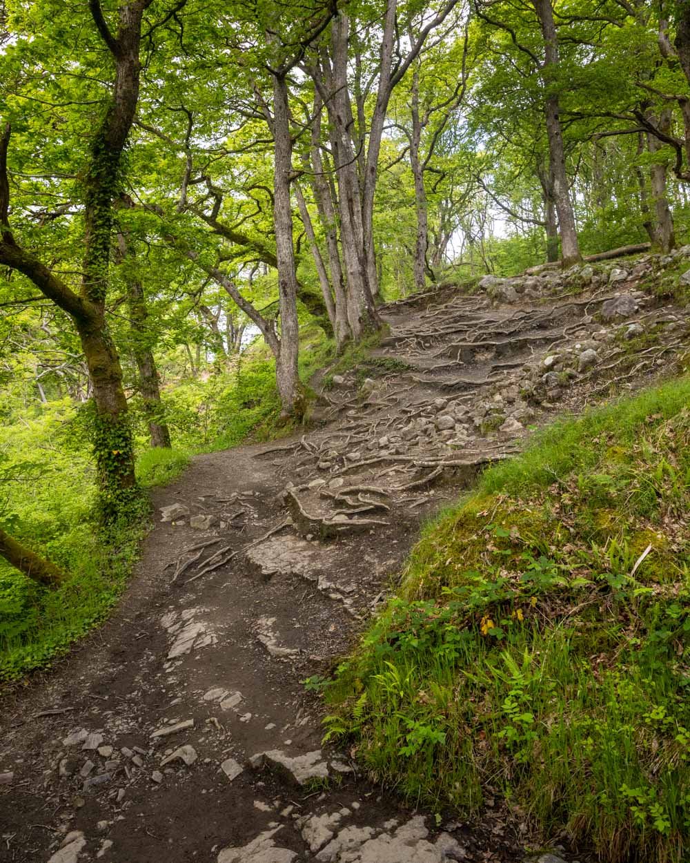
Although much of the circuit is on well graded gravel paths, heading down to the various falls involves negotiating some slippery steps and muddy tracks, with rocks and tree roots. It’s not difficult as such, but I would definitely recommend proper shoes for that reason.
There’s also one point where you can take an adventurous hiking track between two of the falls rather than doubling back along the gravel path. This track is marked as dangerous and is not recommended by the signs on the trail. We’ll go into all the details on how we found it later in this guide.
The route
Car Park
1. Sgwd Yr Eira (1.8 miles /3km)
2. Sgwd Y Pannwr (+700ft /1.1km)
3. Sgwd Isaf Clun-Gwyn (+240ft/400m)
4. Sgwd Clun-Gwyn (+370ft/600m)
Starting the trail at the Cwm Porth car park
As it’s a circuit, you can walk the trail in either direction. We opted to walk clockwise, which got a lot of the gravel path walking out the way early on, which personally I prefer.
The walk begins over the road from the car park and heads along a gravel path beside farmland. It descends gently and after 1km you’ll come to a trail on the right marked as the ‘Waterfalls Path’.
Unusually for walks in the area, this track is signposted, so you don’t need to worry about route finding.
You’ll soon head into the woods, on the same gravel path, but it feels more picturesque surrounded by dense green woodland.
Roughly 1.6km into the trail you’ll come to a cross roads. We went straight on towards Sgwd Yr Eira (the first waterfall).
To Sgwd yr Eira - the waterfall you can walk behind
After just under 1km of fairly flat trail through the woods the landscape opens up and a couple of hundred metres later, you’ll see the trail to Sgwd yr Eira on the right.
It’s a narrow gravel path which descends past a picnic area before you reach the staircases down to the falls.
The stairs are in fairly good condition but they are slippery in places if wet - which is most of the time! There are handrails on the most slippery bits, but it’s worth taking it slowly.
You’ll then arrive at the river and have a few minutes rock hopping up stream to reach the pool at the base of the falls.
This is a good spot to go for a swim if you’re visiting during a quiet period. If like us, it’s the school holidays, then there are better places further along the track which are much quieter and more secluded.
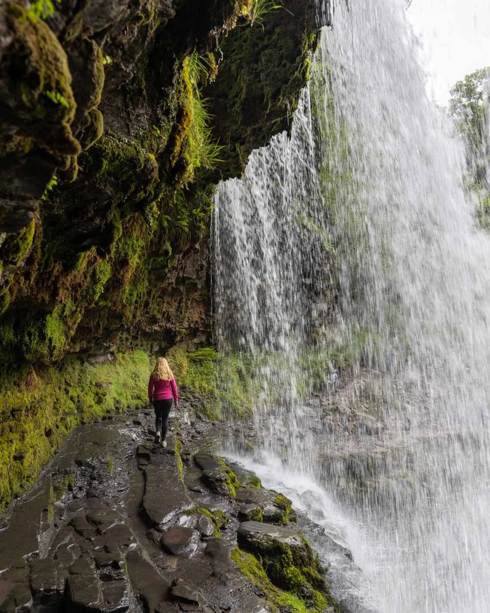
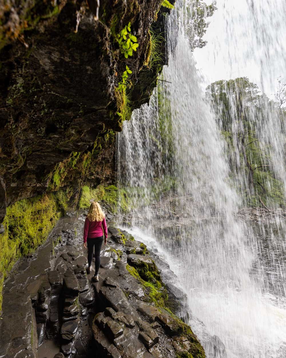
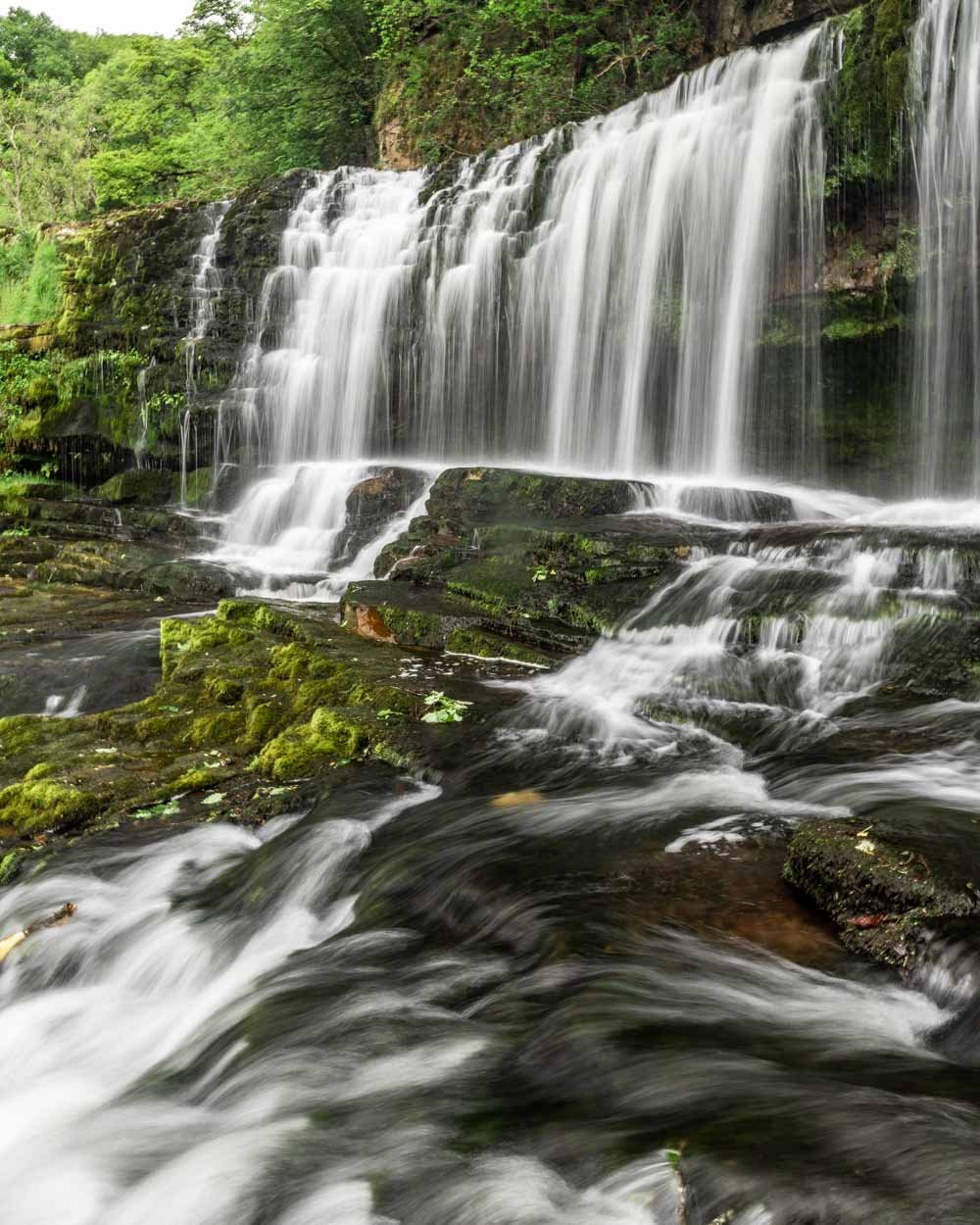
The waterfall itself is gorgeous and has the added bonus that you can walk all the way behind it.
The path on the left doesn’t require crossing the stream, and though it looks very slippery, is not actually that bad.
When you view the falls head on, it looks like it would be really precarious to walk behind, but when you get there you’ll see it’s actually quite wide.
If the falls are flowing well, you might get a bit wet, but as there’s plenty of room the spray was minimal when we visited.
It’s definitely a lot of fun to stand behind the huge curtain of water and it makes for some great photo ops.
To Sgwd y Pannwr - the waterfall that has an incredible swimming hole
To reach the next waterfall, you retrace your steps to the top of the stairs and then head left. It starts off on a flat easy gravel path before you reach the turn off for Sgwd y Pannwr a few hundred metres later.
From here the trail is rocky as you descend towards the top of the falls. It does improve as you get closer and there are a few flat sections of boardwalk, which are a lifesaver when you see the quagmire that lies beneath!
Just 550m from the turn off you’ll reach the top of the falls, which offers a lovely vantage point over the waterfall and swimming hole.
The path to the base of the falls is just before the view over the falls. It’s quite rough and rocky, but only 85m long and it takes just a few minutes to reach the falls.
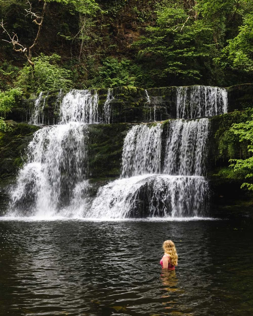
You’ll then be standing in front of a gorgeous multi-tier waterfall with a spectacular emerald green swimming hole at the base.
It’s a really beautiful scene, yet we shared it with just a couple of people, unlike Sgwd yr Eira where there were around 50 others!
If you’re feeling brave - because let’s face it, this is Wales and the water is ice cold - you can go for a bracing dip! In May, it was as cold as the glacial pools of New Zealand, but it’s guaranteed to make you feel alive afterwards!
Entering the water is easy, it starts off shallow with a few rocks, but then quickly deepens and was perfect for a proper swim.
To Sgwd Isaf Clun-Gwyn - the waterfall with two spectacular levels
The trail to Sgwd Isaf Clun-Gwyn follows the river right from the viewpoint over the top of Sgwd y Pannwr. There are some seriously muddy sections along here, but boardwalk or rocks should see you over the worst of it.
You’ll reach the falls just 300m after leaving the bottom of the falls at Sgwd y Pannwr.
This waterfall really blew me away. You need to veer slightly off trail and onto the rocks to see it at its best, but it’s not slippery when dry.
There are a series of jaw-dropping emerald plunge pools which were so gorgeous that I was tempted to put my swimsuit back on!
The only thing that stopped me was the water temperature - in May you really need to be swimming not just sitting in the water!
If it’s the height of summer and a hot day, I can’t think of many better places for a dip, especially as this waterfall sees even fewer visitors.
The gorge is rugged and the series of cascades and the water colour make it incredibly atmospheric. I loved every waterfall on the trail, but this spot really blew me away!
From here you can take a rough path up to the main waterfall. The path is very short, but is marked with a warning sign.
The scramble takes a couple of minutes and you’ll soon see the main waterfall of Sgwd Uchaf Clun Gwyn. Unlike the others on the trail, it’s a wide curtain of water, before narrowing into the canyon below. Be careful at this point as it can be slippery, but it’s a beautiful spot to sit and take in the view.
After visiting this section you have two choices: backtrack and follow the main trail to the final falls (recommended by the signage on the trail), or continue up and further along the path that has been marked dangerous.
Now we aren’t risk takers, but we looked at the dangerous path and in honesty it looked like your average hiking trail in Australia, where we’d been extensively hiking for the last eight years.
We decided to start along it and were prepared to turn back if we thought it was getting too sketchy.
Even if you have no intention of taking the dangerous path, then you still might want to consider seeing the upper cascades (the main waterfall) as that only takes a few minutes.
The track up is not maintained and is steep with many tree roots, but it’s only 50m, so if you feel ok with that then it’s very much worth seeing the upper falls.
The “dangerous path”
If you want to use the main trail, then you’ll backtrack slightly and then follow signs for Sgwd Uchaf Clun Gwyn - the final falls on the track. This is a slightly longer route, but takes you along a well maintained path.
If you want to take the shorter “dangerous path”, here’s what to expect.
First things first, I wouldn’t say this is actually a dangerous path, but it does come with more risks than the rest of the trail - it’s narrow and eroded in places which are close to a drop, and travels briefly below a gorge wall which has the potential for rockfall.
It’s a proper hiking track and not recommend after rain, when it would be more slippery, and rockfall risk is greater. If you don’t like the 50m stretch up to the top of the falls, you won’t like the rest of the trail, so you can use that as a guide.
Personally we loved it, but you should read the warning sign before taking it and I wouldn’t recommend it if it feels busy, as it is narrow and you don’t really want to pass anyone.
The path itself is only 400m and heads steeply uphill just before you reach the upper cascades. You’ll see the beaten down path, which is a rocky dirt track.
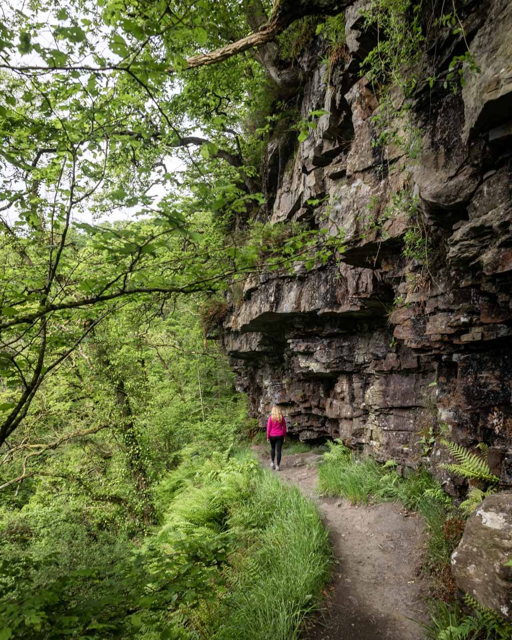
You’ll climb up to the path that runs underneath the cliff wall, which is a gorgeous stretch of track, and then you’ll follow the narrow trail as it curves around the top of the gorge.
It’s muddy in places with a few rough patches, but for us it felt like a standard hiking trail - the difference is more that the rest of the track is so wide and manicured.
After the initial climb it’s pretty much flat all the way, but does require careful footing due to the fact it follows a steep drop for much of the way.
After 400m you’ll pass through another dangerous path sign and return to the well maintained path.
To Sgwd Uchaf Clun Gwyn - the waterfall that you need to see from the bottom
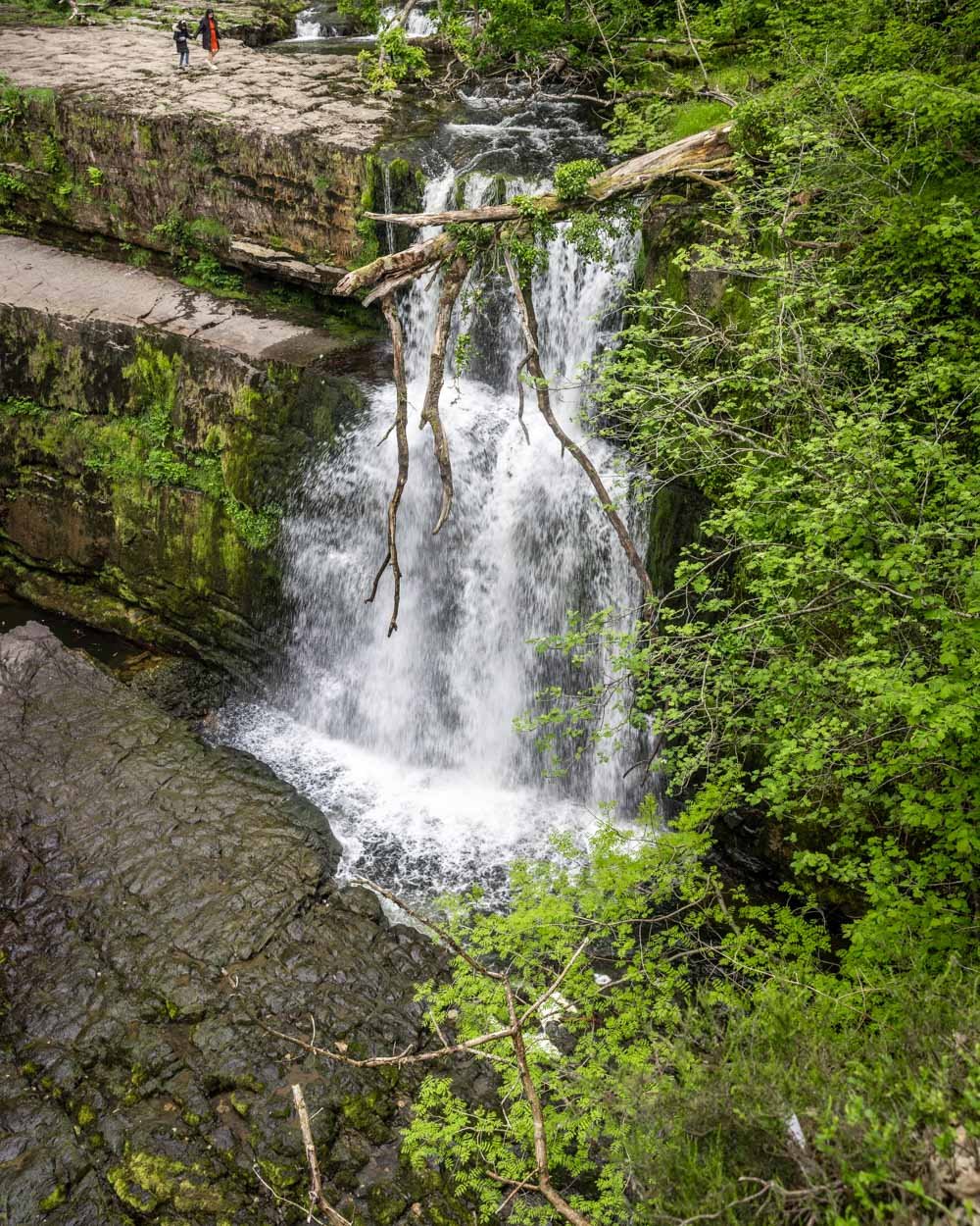
The trail will pop out at a vantage point above the falls. The view is ok, but there’s a big fallen tree across part of it, which does make it a little less picturesque.
It’s much better viewed from the bottom. You’ll follow the path briefly uphill and then right, following signs for the Cwm Porth car park.
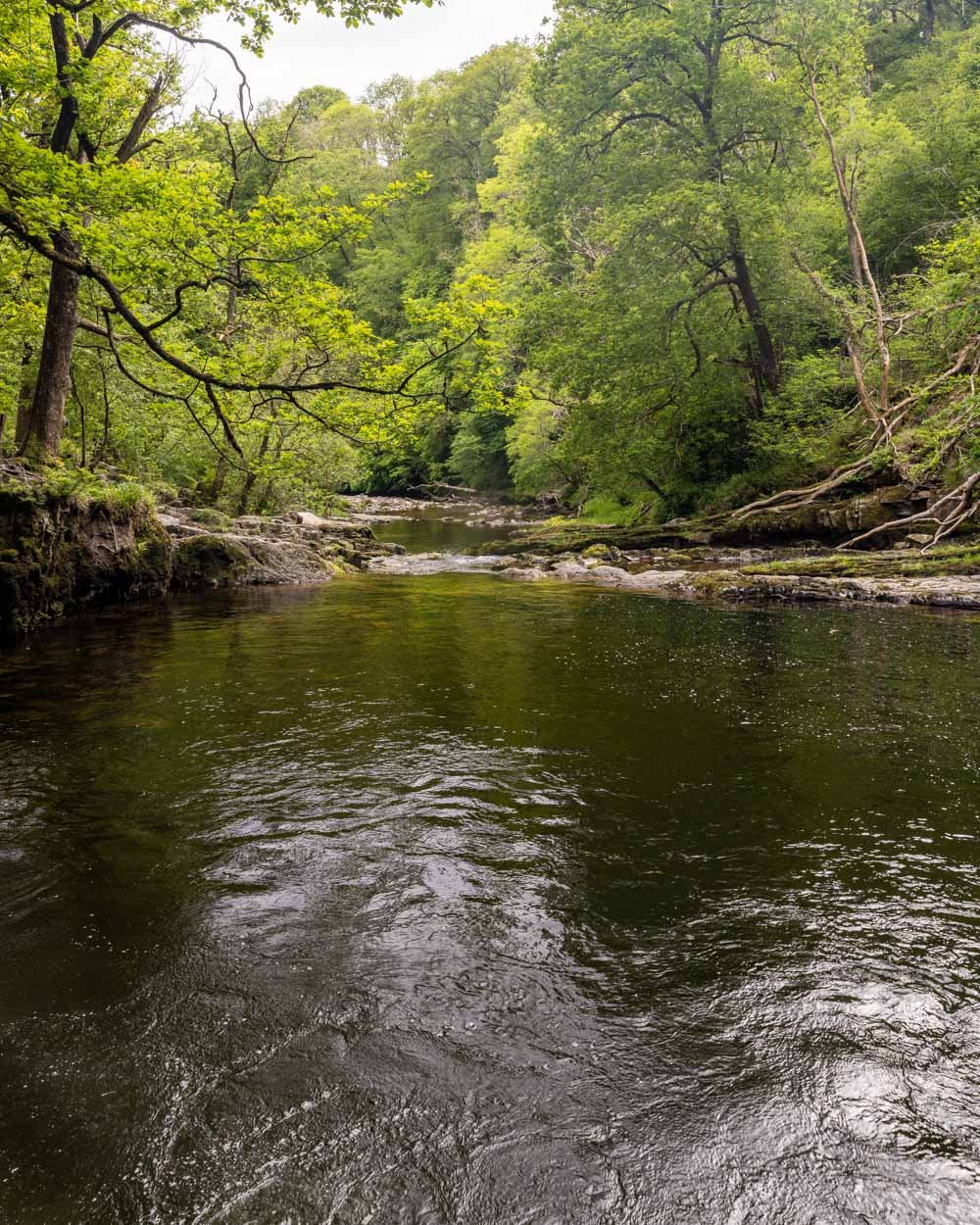
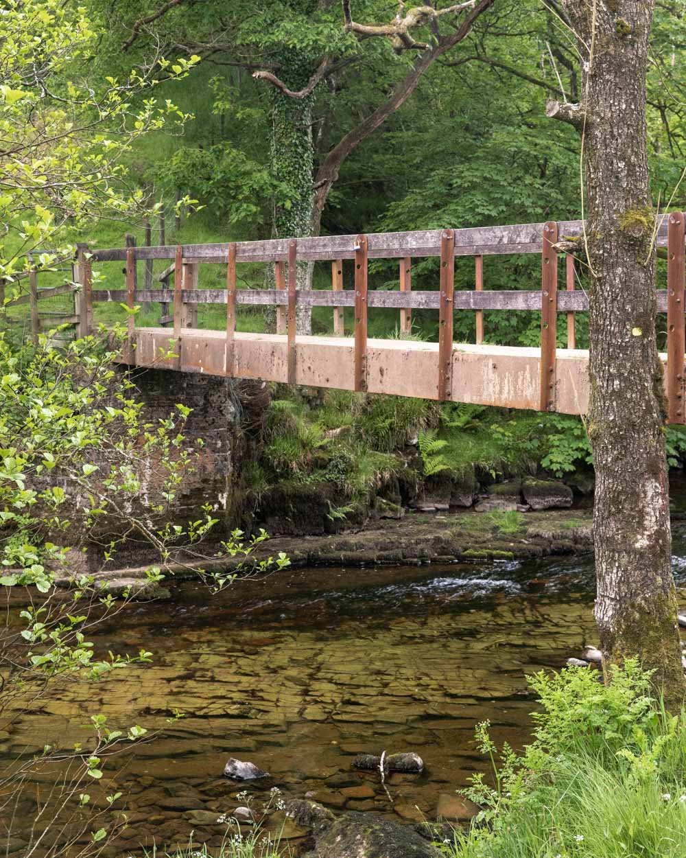
It's mainly flat and you’ll reach a little wooden bridge 300m later. Cross the bridge and head downstream.
There are two paths and both will get you there in roughly the same time (it’s only 200m to the bottom of the falls), one follows the water and one is just above it. You’ll then come out to a large rocky platform above the falls.
The path to the bottom is steep and slippery, but only takes a few minutes. It’s worth taking it slow and using your hands if you need to, as it would be easy to slip, especially if it’s wet.
You’ll then be standing inside the gorge, with a phenomenal view of the falls, and yet another great swimming hole opposite the waterfall.
It’s an amazing spot and allows you to see how special the waterfall is, which you really don’t from above.
Completing the circuit
From the bottom of the falls back to the bridge is just 200m, and you’ll be taking the same path back. From the bridge you continue following signs for Cwm Porth car park.
It’s a flat gravel path along the river at first and then as you re-join the original path you came in on, it will start to head gradually uphill.
The sign says it should take around 25 minutes, but you can definitely do it in less.
Getting to the Four Waterfalls Walk
There are three different car parks for the Four Waterfalls Walk. We’d recommend using the Cwm Porth car park if you can get a space.
It has toilet facilities as well as a map of the trail and a small kiosk selling snacks.
The car park is £5 per day, or £4 if you arrive after 4pm, the machine takes card and you can also pay at the hut.
The car park is 50 minutes from Abergavenny, it’s 25 minutes from Merthyr Tydfil and an hour from Cardiff. The road gets narrow as you get closer to the car park, but it’s not as bad as the one at the Sugar Loaf!
This post may contain affiliate links, meaning at no additional cost to you, that we will earn a small commission if you click through and decide to make a purchase. This helps towards the costs of running our website. Thanks for your support!

