Famous naturalist and national park icon John Muir referred to Sequoia National Park as ‘little Yosemite’. That should probably tell you everything you need to know about the scenery in this area, or it did us anyway, and we knew on our second trip to the States we just had to visit.
Many national park fans will already know that Sequoia is where you can see the biggest tree in the world - General Sherman - but what a lot of people don’t realise is that there are thousands of the huge trees scattered throughout the park.
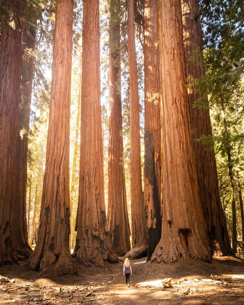
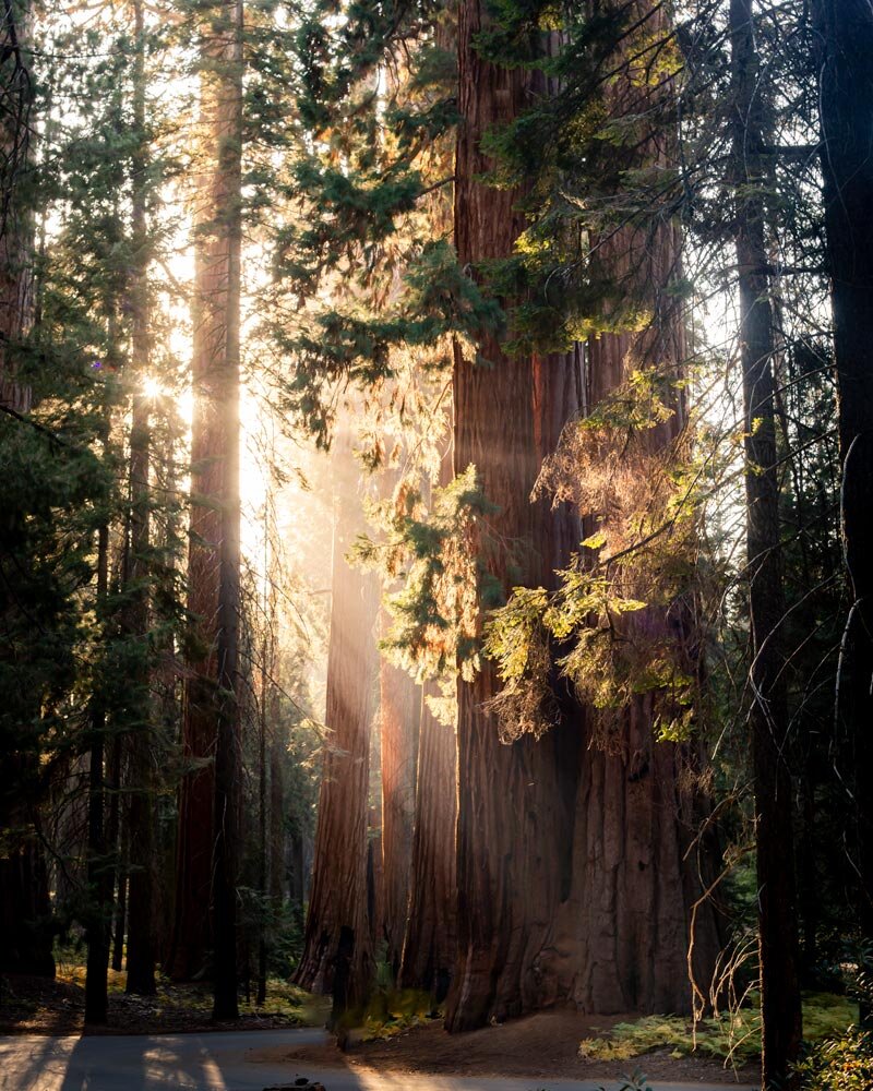
You could spend days walking amongst these giants, and we did! There’s also a lot more than just big trees here with canyons, meadows and rocky monoliths, not to mention some spectacular sunset spots.
The park is divided into two parts, Sequoia and Kings Canyon (but are managed as one) and after exploring both we’ll take you through our favourite hikes in the area.
The Best Sequoia Hikes
These are the best hikes in Sequoia National Park (you can skip to Kings Canyon by clicking here):
1. General Sherman - for the biggest tree in the world
Distance: 0.5 miles (0.8 km)
Elevation: 154 feet (47 metres)
Difficulty: Easy
This might be one of the most popular trails in the park, but - even for those who prefer the quieter tracks - you really do have to visit the biggest tree in the entire world! You’ll start by heading downhill into the forest on a wide, paved trail. You’re surrounded by trees the entire time and it won’t be long before you meet the grandest of all.
At 275ft tall, with a volume of 2,500 cubic feet, General Sherman’s size is actually hard to comprehend, even when you see the stats. If the trunk was filled with water, there would be enough for 9,844 bath tubs!
What isn’t hard to comprehend is the grandeur and immense beauty of this thousand year old tree. For protection the tree is behind a fence, which seems a bit of a shame, but also understandable.
Once you’ve had a good look at the General you can leave the crowds behind and head directly onto one of our favourite hikes in the whole park: the Congress Trail.
2. Congress Trail - for big groves of sequoias without the crowds
Distance: 3.3 miles (5.3km) - Including the General Sherman Trail
Elevation: 515 feet (157 metres)
Difficulty: Easy
We loved the chance to see General Sherman, but it was also pretty noisy and busy, and the tree was behind fencing making it feel more like an exhibit than a living being of the forest. The Congress Trail - which begins right beside General Sherman - is the antithesis of this.
The crowds miraculously disappear and you’ll find yourself strolling through a world of big trees without the fencing. The path is paved, which is really the only negative I have to say about the trail. I would have preferred a natural dirt path, but hey that’s being picky!
The chance to wonder through vast numbers of these living giants is one I won’t forget in a hurry. There are many clusters of trees close together which all have their own names: the House, the Senate, the President and more.
It’s an easy (although not entirely flat) and peaceful place to stroll, and it quickly became one of our favourite walks in the entire park.
3. Soilder/Bear Hill Trail Loop - for more bears than humans (yes really)!
Distance: 4.1 miles (6.65km)
Elevation: 810 feet (247 metres)
Difficulty: Easy - Moderate
We didn’t see another human on the Soilder/Bear Hill Loop. But what we did see was four black bears! They don’t call it Bear Hill for nothing!
Let’s just talk about the bears for a second in case it puts you off: all the bears stopped and stared when they saw us and then either carried on what they were doing or ran off into the forest.
None gave us any cause for alarm and considering we have already survived one bear attack in our lives, that felt amazing. It was the first time I had looked a wild bear in the eye since the attack and I was relieved to find that I was wary but not terrified (a grizzly would have been a whole other story though!).
Back to the trail, this one is fully on dirt track (apart from one short section where you need to walk on the road) and with no humans spotted it was the quietest trail we walked in the park.
Does that mean it was one of the least good? Nope, quite the opposite. It was one of our faves as you are walking in what is known as The Giant Forest.
You are right beside the biggest trees in the world and there are no fences, no name tags, just you and them in one of the most spectacular forests I have ever had the pleasure of walking in.
There are some ups and downs on the trail (the most notable hill being right at the beginning of the track) but it’s not difficult. The terrain is great and not in the least bit slippery (we hiked in dry conditions though).
Around halfway-ish, you have the option to divert a minute or so to see the famous Tunnel Log which is worth doing. It also means yo arrive on foot and don’t have to worry about snagging one of the very few spots you can park in.
If you’re looking for a hike where you can take in the giant trees in perfect solitude this is the one for you. The fact that it doesn’t appear in the main park literature means that it is always going to be one of the quietest hikes in the park (although if visiting in summer I suppose you might bump into one or two people).
4. Moro Rock Trail - for the best sunset hike in the park
Distance: 0.5 miles round trip (0.8 km)
Elevation: 200-300 feet (we forgot to measure this one!)
Difficulty: Easy
There are a couple of different options for visiting Moro Rock. One is longer than the other, but I am describing the short version here because that’s the one we did. If you can time your hike to be at the top of the rock for sunset you will not be disappointed.
The view is staggering - one of the best in the entire park. The walk is very short but does consist almost entirely of stairs, so be prepared for a very short workout.
You’ll climb 350 of them in total as you wind your way straight up the rock. There are barriers and it’s by no means a scramble - it’s basically just staircases. The views get better and better the higher you get, until you arrive at the very top where there is quite a big space (as long as it isn’t busy) for you to sit and take in the views.
If you’re too tired for Moro Rock or want a quieter sunset spot, head to the stunning Hanging Rock instead.
The view from Hanging Rock
Best Kings Canyon Hikes
These are the best walks in Kings Canyon National Park:
1. Cedar Grove Overlook - for a grand view of the canyon
Distance: 4.5 miles (7.29km)
Elevation: 1,530 feet (467 metres)
Difficulty: Moderate
This is one of the more difficult trails on the list because the majority of the way to the overlook is uphill. The switchbacks make it easier but there’s no denying it is one of the steeper options in the park.
The first part of the trail is fairly uneventful as you zig zag your way up because you can still see the car park, but it isn’t long before the track gets much prettier.
You come out into more open grassland and the view really begins to open up.
It’s the final 0.5 miles, which are flat, followed by a short descent that really make this track special. The views of the peaks and absolutely ginormous cedar grove as well as the mighty Kings Canyon - which is the deepest in the continental US - are beautiful.
There is a large pile of rocks at the overlook which we thought make the perfect spot to sit and take in the special views. We didn’t see another soul on this hike which for us really added to the experience. Most of the trail is quite exposed though, which makes the elevation gain that bit harder on a sunny day.
The descent is easy because the trail is in great condition and not slippery at any point.
Don’t forget to store any food in the bear boxes provided at the trailhead as black bears are known to be quite bolshy with trying to get into cars in this area.
Big Baldy Ridge - for expansive 360 views
Distance: 4.6 miles (7.4 km)
Elevation: 990 feet (302 metres)
Difficulty: Moderate
Big Baldy is a fantastic hike that first takes you through a pretty section of forest before heading up a rocky incline and reaching the panoramic views at the top. The trail does have some uphill sections, but it is broken up with flat track and is rarely steep.
We found gently climbing through the shady forest incredibly peaceful as there were barely any other hikers on the trail. In fact it seemed so little used that it is not always 100% obvious where it goes, although we got there in the end!
You’ll get little glimpses out to the Sierra Nevada mountains as you make your way to Big Baldy but the true panoramic vistas come when you reach the ridge. At that point you can enjoy the views all the way to the top. On a clear day you can even see as far as Mount Whitney!
The summit is a wide open area with plenty of space to sit and relax. We originally planned to head up for sunset, but didn’t time it quite right. It would make a fabulous spot if you did.
The trail is not difficult, but there are some rocky areas which you just need to watch your footing on. We hiked in fall but we were told in summer you get some beautiful wildflowers here, something to come back for!
General Grant Grove - to walk through the trunk of one of these giants
Distance: 0.6 miles (1 km)
Elevation: 75 feet (23 metres)
Difficulty: Easy
Depending on where you’re staying, you might be closer to General Grant than you are to General Sherman, or maybe you just want to visit the second biggest tree in the world too - like we did!
General Grant is equally as impressive as General Sherman and - to be honest - I couldn’t have guessed which was bigger.
General Grant attracts crowds, but not quite as many as Sherman, so this could be a good option for you if you want to share the experience with less people.
The walk is short, paved and easy, without the elevation of the General Sherman Trail. You get the chance to walk around the big trees as well as right through the trunk of a fallen giant which was pretty cool and kids would love it!
Zumwalt Meadow - for an easy and peaceful stroll
Distance: 1.35 miles (2.14km)
Elevation: 100 feet (31 metres)
Difficulty: Easy
If you’re looking for some very different scenery in the park and you’d like a relaxing stroll, then the Zumwalt Meadow is your perfect hike.
You’ll start walking alongside the river which all feels very peaceful, until you read the sign about how many people have died when taking a dip, yikes!
Once you reach the meadow, you will follow the boardwalk with magnificent mountains as the backdrop. It’s a beautiful spot and the area makes an ideal place to have a picnic before exploring more of the park.
Buena Vista Peak - for the chance to bag an easy peak
Distance: 2.1 miles (3.4 km)
Elevation: 460 feet (140 metres)
Difficulty: Easy
If you’ve had your fill of walking through forests (is that even possible when the forests are full of sequoias?) the Buena Vista Peak trail offers something a little different.
It’s an easy trail which has a little climbing to do but is never very steep. You’ll be walking along a track surrounded by granite boulders which had us reminiscing about Yosemite.
The views are pretty good throughout the short trail but they get totally spectacular from the peak. There’s a lot of space to sit and admire the views as well as some giant boulders which kids (and adults!) will enjoy to clamber over.
It’s another favourite sunset spot if you can time it right.
You could get up and down this peak in very little time but we found that it was the kind of place we couldn’t help but linger.
The ones that got away
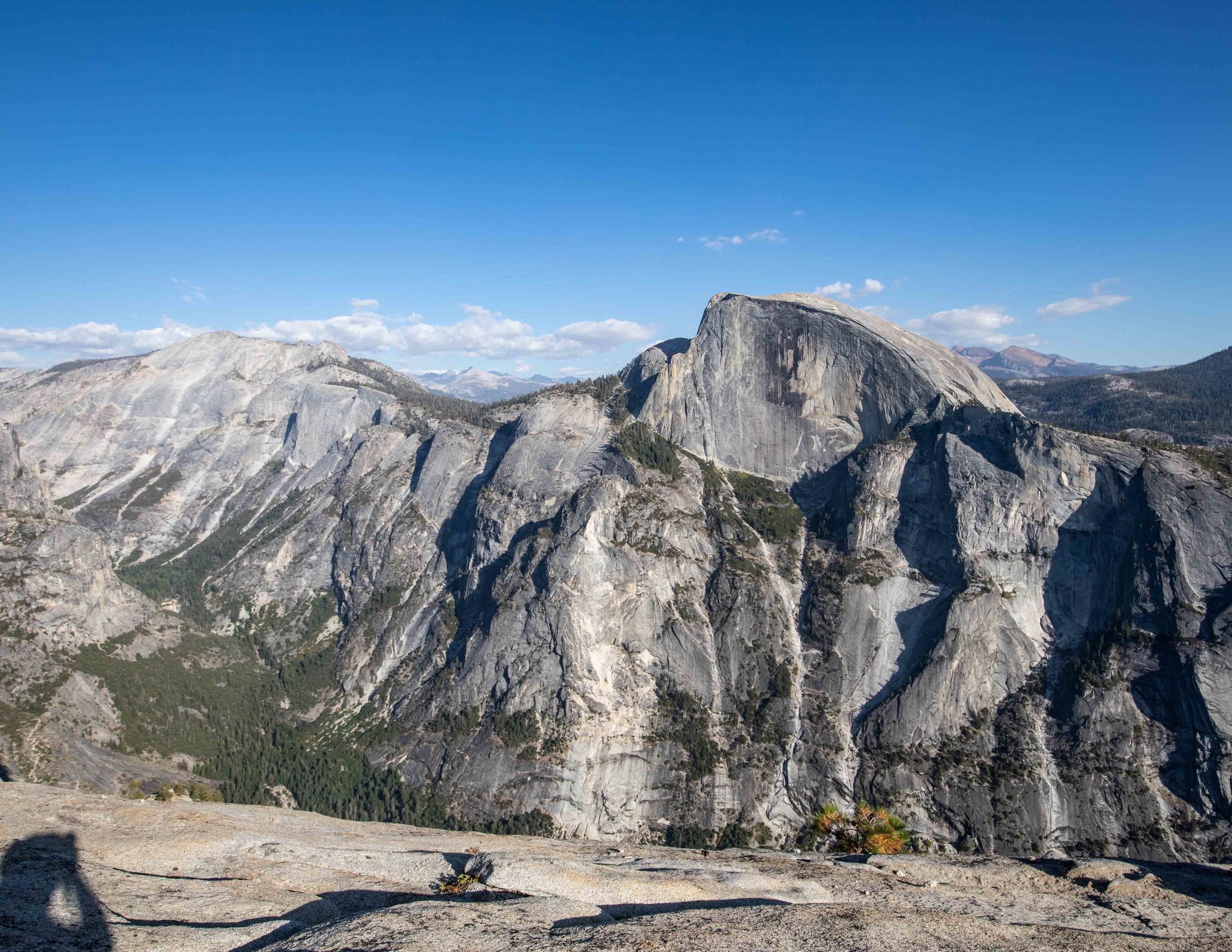
We always have a list of hikes which we never quite manage to get through on our first visit to a park. We came to Sequoia directly from Yosemite where we’d spent the last week hiking a few of the giants like Half Dome and El Capitan, for this reason it was the two longer, more substantial hikes that got pushed into the next visit list.
In case, like us, you’d normally pick these epic trails, I’ll list them below for you to check out.
Alta Peak - Sequoia
The Alta Peak trail is just under 15 miles return with just over 4000ft elevation gain. It’s said to have some of the best views in the park, particularly in the last mile and a half.
It’s more strenuous than it might look from the stats due to the elevation at which the trail starts. We found that when climbing Clouds Rest in Yosemite we struggled a little more than other similar hikes in the park which began down in the valley.
In my opinion the pictures from this trail look like the most majestic of any I’ve seen in terms of expansive views.
Heather Lake via Watchtower - Sequoia
The Heather Lake Trail is 8.1 miles with just over 4000ft elevation gain and rated as moderate. Heather Lake is said to be spectacular and the views from the watchtower jaw dropping.
When heading up to the watchtower we’ve read there is a certain level of exposure and it might not be suitable for those with a fear of heights.
It’s always difficult to know unless you’ve done it yourself as everyone’s tolerance is different though. When we make it back to Sequoia I’ll give it a full write up.
Packing suggestions for Sequoia & Kings Canyon
Having the right gear can make a huge difference, whether it’s hiking during the hot summers, or the potential snow in the winter. Here’s what we pack and have relied upon for years:
Day Pack: Osprey Talon 22 (we’ve owned this for years). Check on Amazon, REI or direct with Osprey
Hiking Boots: Merrell Moab (for men and women). We’ve both used these for over three years and they just keep going. Check them out on REI or Amazon
Trekking poles: We’ve used Black Diamond for years as they are light, solid and durable. Check out REI or Amazon.
Reusable water bottle: To avoid single-use plastic. Check then out on REI or Amazon
For winter
This post may contain affiliate links, meaning at no additional cost to you, that we will earn a small commission if you click through and decide to make a purchase. This helps towards the costs of running our website. :-)
Like it? Pin it!
Follow us on social media
Have we missed your favourite Sequoia hike? Do you have any recommends for our next visit? Let us know in the comments below!


