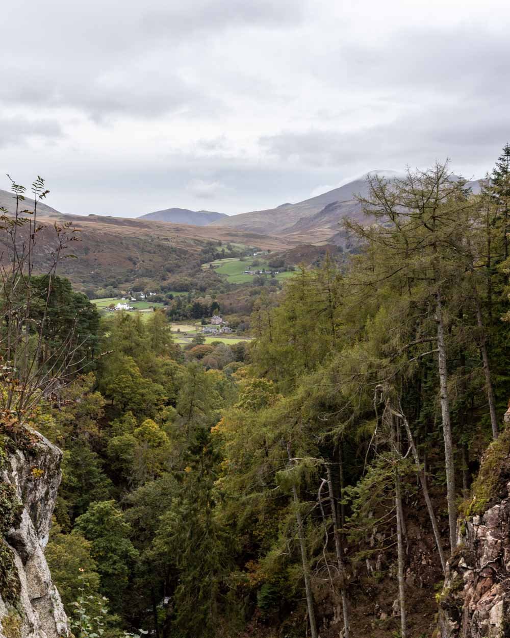
Stanley Ghyll Waterfall is one of the most atmospheric waterfalls in the Lake District. It plunges into a sheer ravine and the force of the water and dramatic scenery make for a mesmerising scene. The walk to get there is also gorgeous, taking you alongside multiple cascades and through fabulous mossy woodland.
Unfortunately due to ongoing rockfall risk, the bottom of the falls is closed and therefore you can no longer swim here. It’s unclear whether it will reopen, but even if it doesn’t, a trip to the upper falls is still very much worthwhile.
Here’s everything you need to know about visiting Stanley Ghyll Waterfall.
The walk to Stanley Ghyll Waterfall
The stats
Distance: 1.7 mile (2.7km) loop
Elevation gain: 130m
Difficulty: Easy
There are a couple of different routes to Stanley Ghyll Waterfall. We’re sharing the shortest option, which you can do either as a return trail or a circuit. We’d recommend the circuit as it offers a change of scenery and some nice fell views on the way back.
The track is generally in good condition. It’s uneven, but rarely slippery, except for a short stony section on the return leg. There is one significant climb to get to the lookout at the top of the falls, but it’s almost all on stairs and the rest of the trail is largely flat.
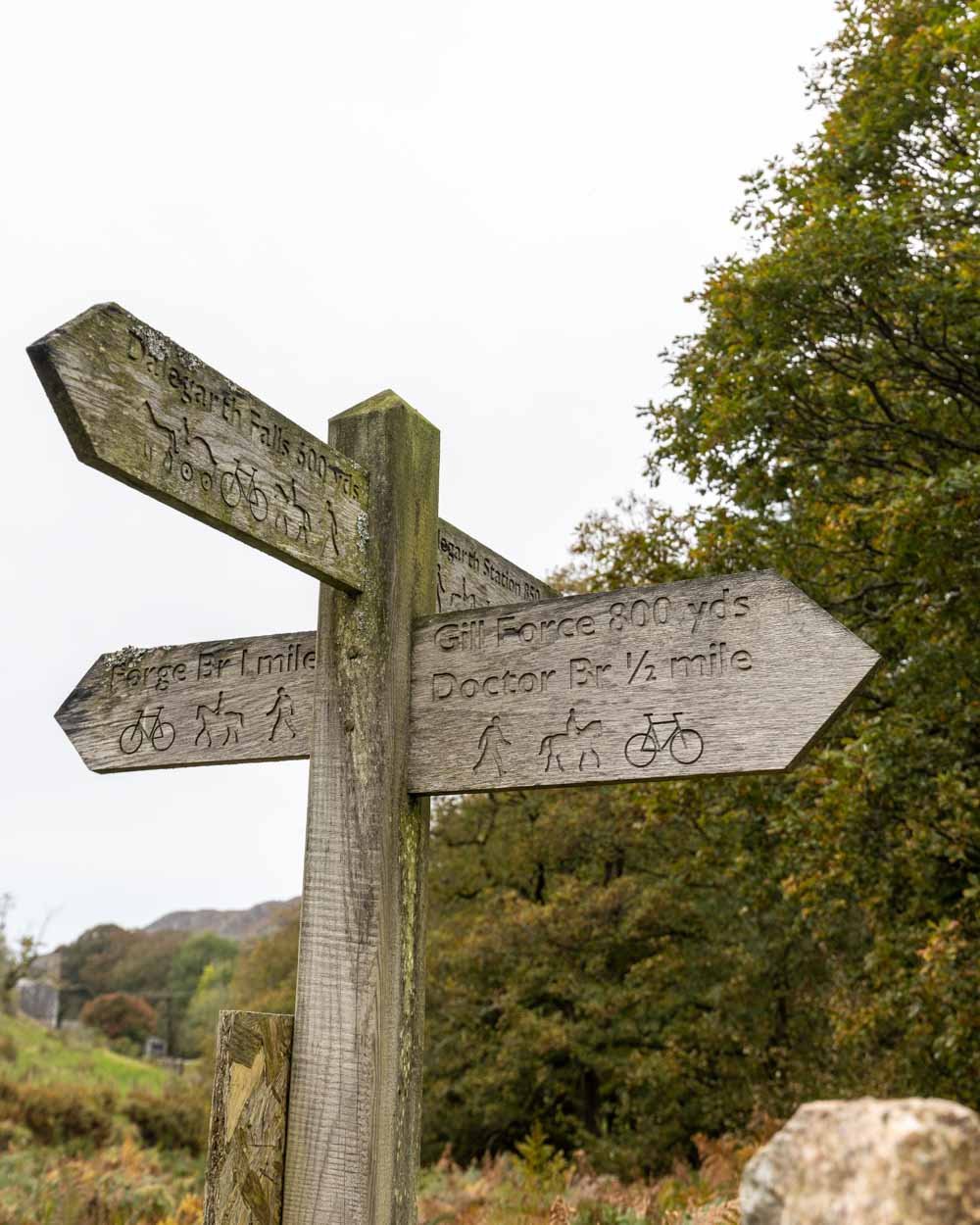
Although there are signposts at points along the track, they can be confusing and never actually refer to Stanley Ghyll, though it’s sometimes marked as ‘gill force’.
Starting the trail
From the parking area (details below) you head left along the road. It will soon bend left and you’ll pass through a gate.
At the 250m mark you’ll see another gate on the left which you need to head through, the signpost refers to ‘Gill Force’
After passing through another gate you’ll come to a junction. This is where the signposting became confusing!
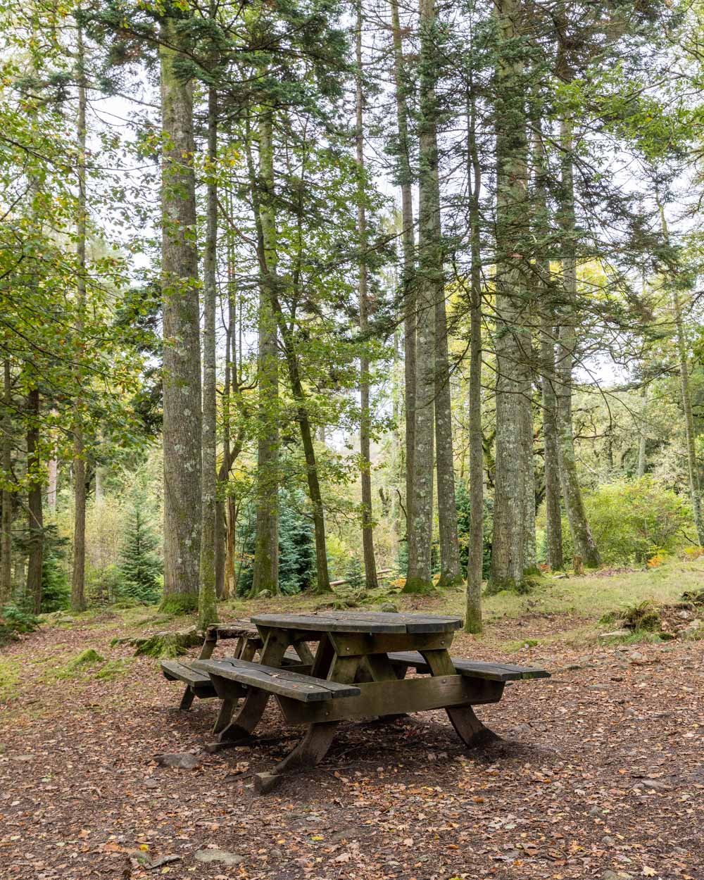
You want to take an immediate right as you pass through the gate, heading through the woodland and not over the bridge. You’ll soon see some picnic benches, which would make for a lovely place to have lunch, if a little early in the walk!
It’s from this point, when you enter the woodland, that the walk becomes much prettier.
Through the woodland
The flat dirt path takes you through a glorious shady woodland, with moss covered rocks and hundreds of ferns.
Your constant companion is the river, and the rushing water adds a relaxing backdrop to the walk. It’s such a peaceful forest and we couldn’t believe we had it all to ourselves!
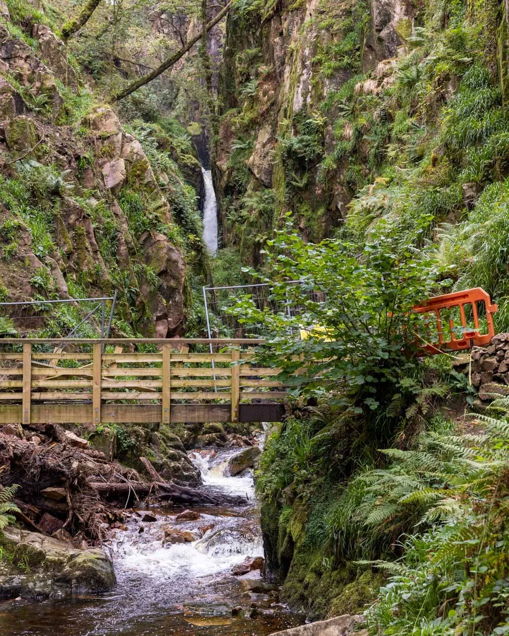
After just over a 500m flat walk in the woodland you’ll come to a bridge over a bigger set of cascades. It’s a gorgeous scene and the large cliff wall behind the bridge is the first time you feel like you’re entering a gorge.
The next part of the trail has a little more uneven terrain, with rocks and tree roots, but it’s still flat and easy. After 50m you’ll reach another bridge next to a small waterfall and this is the junction between the upper and lower falls.
The lower falls are currently closed and there is tape and fencing up to stop you accessing it.
It’s a shame as it offered the most dramatic views, as well as the chance to swim, but it’s due to rockfall risk so it’s best to obey the signs and not take any chances!
To the upper falls
After crossing the bridge, you begin the climb to the upper falls. It’s mainly on a set of steep uneven stone steps, but it’s only 250m before you’ll reach the lookout (1.3km into the walk), and it doesn’t take long.
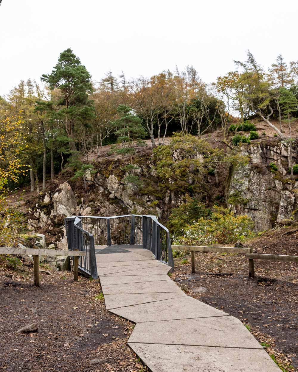
Once you reach the top, there is a railed platform offering an incredible view towards the waterfall, and back along the gorge.
It’s a big view and allows you to enjoy the full height of the falls, the only slight downside is that it’s so high that you do feel a little far away.
Despite this it’s very much still worth visiting, as it is one of the most impressive waterfalls in the Lake District. If you’re looking for a similar waterfall, that you can still reach the bottom of and swim at, try Scale Force, our personal favourite Lake District waterfall.
Completing the circuit
At this point you can either retrace your steps back through the woodland, or make a circuit. They are roughly the same distance and we chose the circuit for a bit of variety.
You need to take the trail leading away from the viewpoint and slightly downhill towards the gate.
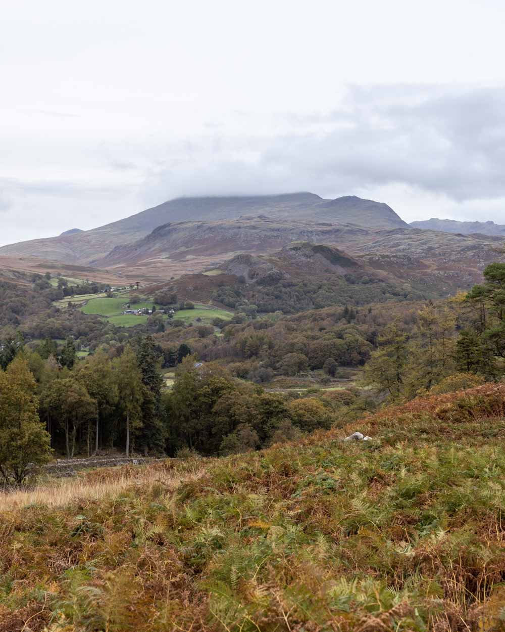
Follow the stony path downhill through the bracken covered hillside. There are some lovely views to the distant fells, which were looking a bit gloomy on our visit, but still beautiful.
Just 650m from the viewpoint you’ll pass through a gate and continue down the path, along a mossy rock wall.
The path is never particularly steep, but as we were walking after rain, there were a couple of short patches where the stones had become a little slippery - nothing major, but worth watching your footing if it’s been very wet.
You follow this path all the way back to the parking area which is just 800m away.
Getting to Stanley Ghyll Waterfall
To use the shortest route to the falls described above, you need to park at the Trough House Bridge car park in Eskdale, postcode CA19 1TF. It’s free of charge and there are no time limits. There isn’t room for many cars to park which wasn’t a problem during our visit in October, but it may fill up on busy weekends and during the summer holidays.
There are no facilities at the car park, including toilets, so you’ll need to plan accordingly.
This post may contain affiliate links, meaning at no additional cost to you, that we will earn a small commission if you click through and decide to make a purchase. This helps towards the costs of running our website. Thanks for your support.


