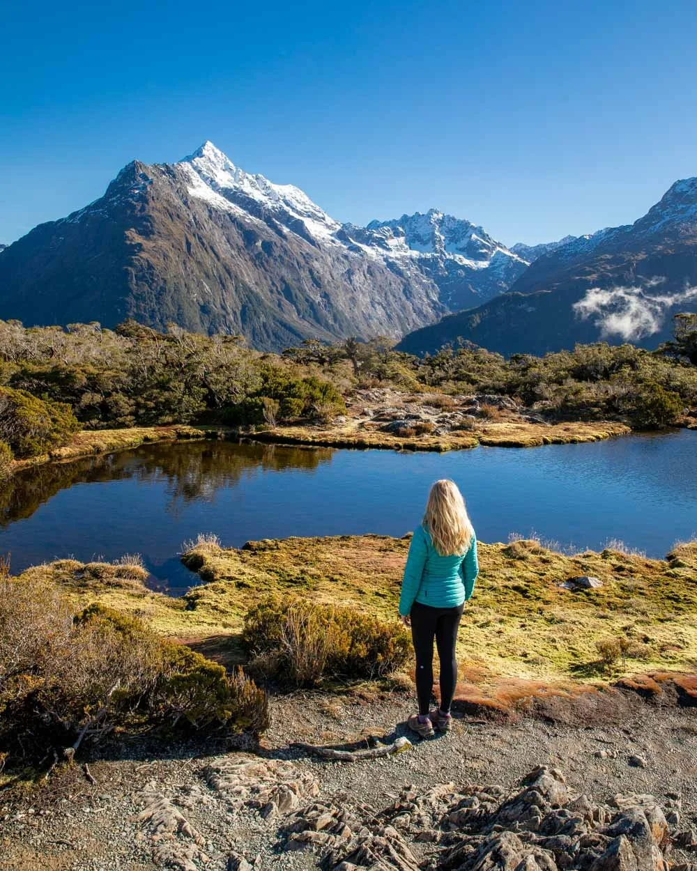
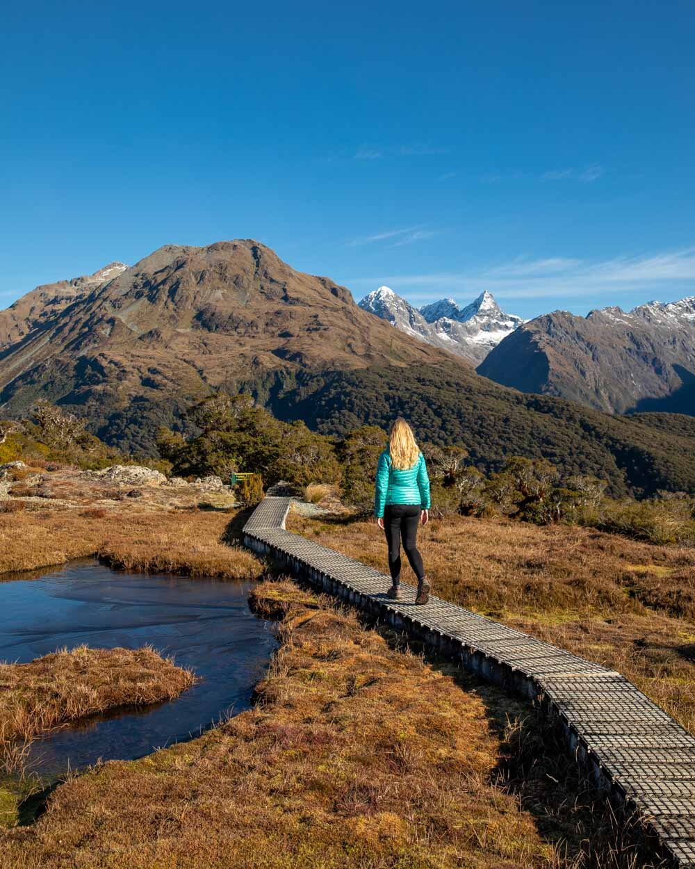
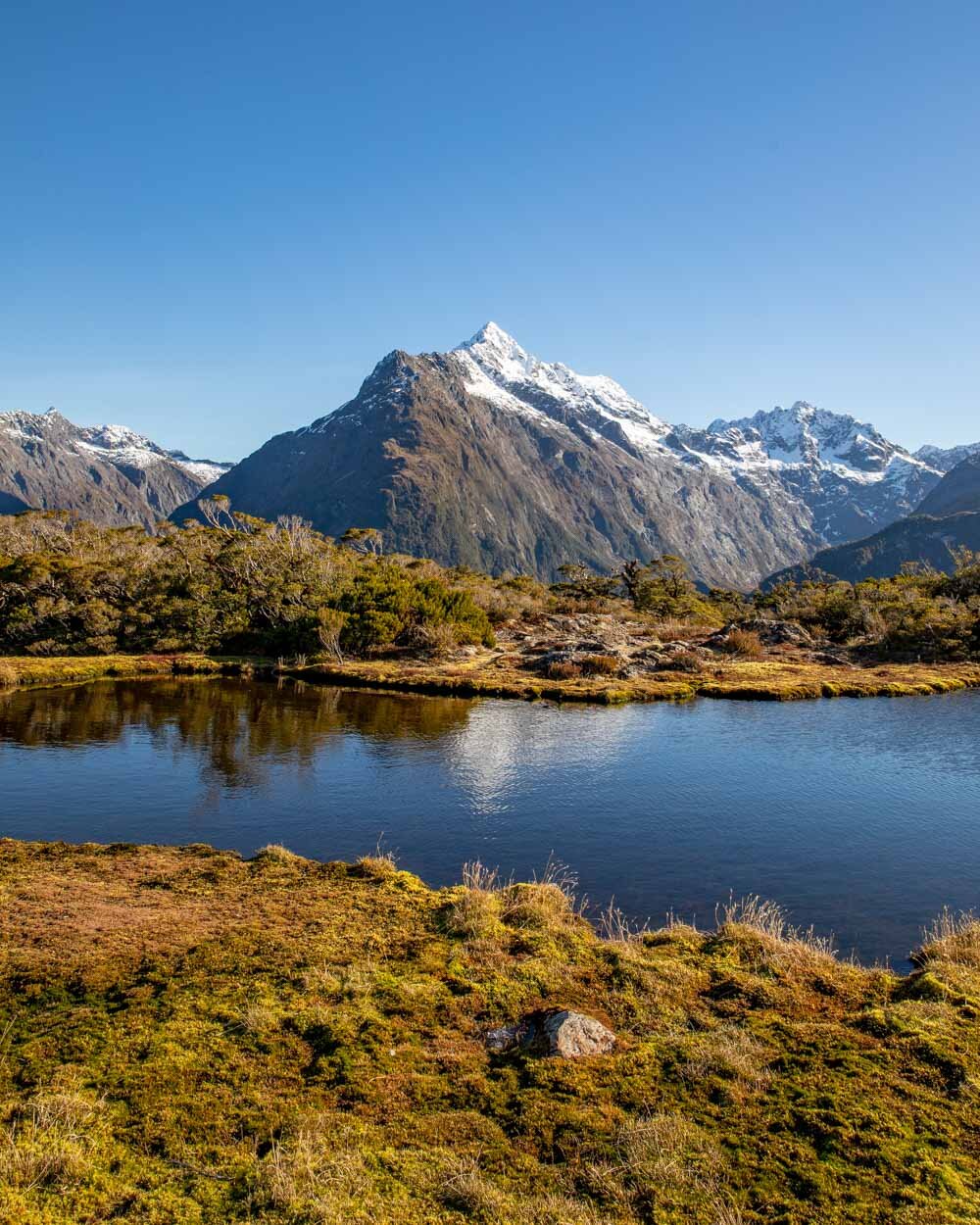
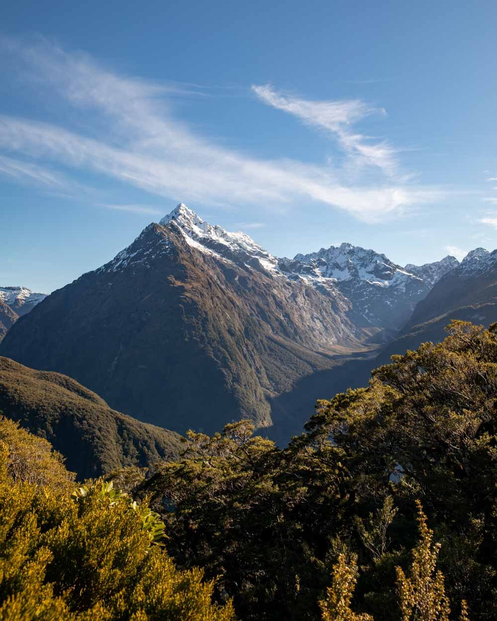
The Key Summit Track is one of the best day walks along the Routeburn Track in Fiordland National Park, taking you through a stunning mossy forest before breaking out of the treeline for panoramic mountain views. At the top you’ll be able to explore this alpine environment on a series of picturesque boardwalks, surrounded by mountains and pretty deep blue tarns.
Although the walk does start by taking you uphill, it’s very well graded and never too steep. It’s one of the easiest ‘proper’ walks along the Milford Road.
Here’s everything you need to know about the Key Summit Track.
The Key Summit Track
The stats
Distance: 8.2km
Elevation: 450m
Difficulty: Easy - moderate
Although the Key Summit Track does have a fair amount of elevation gain, it’s never very steep. The path is very well graded and easy to walk on even in wet weather. There can be some snow and ice at the top in winter, but generally speaking it’s very easy terrain. You can comfortably complete the track in two - three hours.
One thing to note though is that you want clear or clearish conditions for this walk. If the track is under thick cloud you won’t see the mountains at all, but as mountain weather can change quickly you could gamble and hopefully win!
What to expect on the Key Summit Track
Starting the trail at The Divide
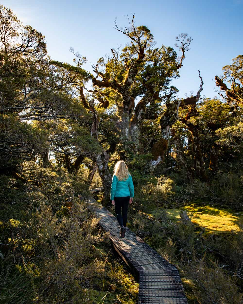
The trail begins at The Divide and follows the famous Routeburn Track for the first 2.7km. The gravel path winds gradually uphill through a spectacular mossy forest.
Although you don’t stray far from the road at first, you will quickly forget about it as you become immersed in the sights and sounds of the forest.
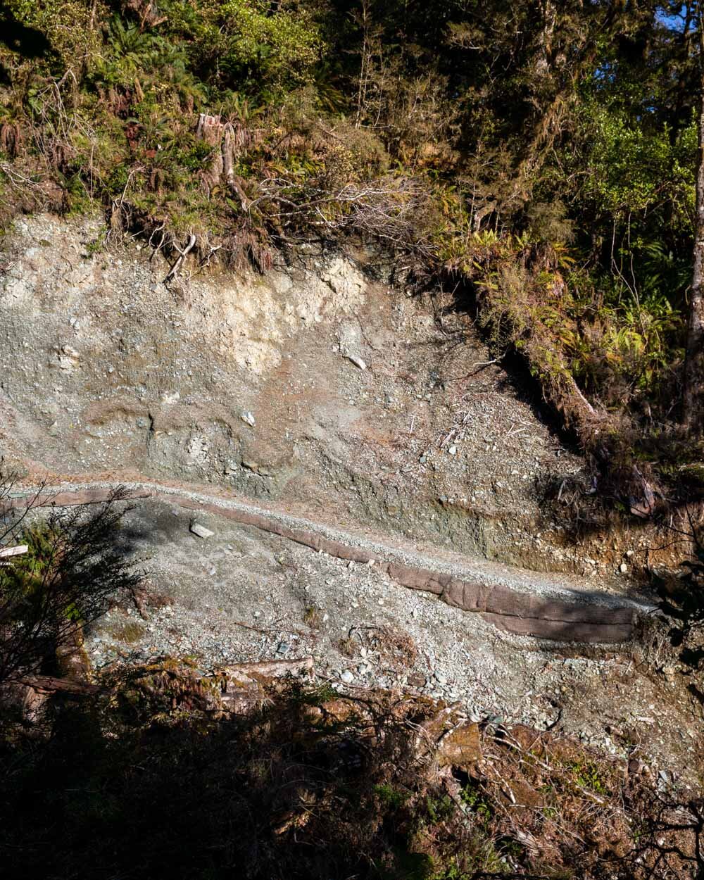
You’ll pass a landslide area 1km into the track, but the path has been fully restored so there isn’t any tricky terrain to negotiate.
Directly after the landslide you’ll pass a small but pretty waterfall before the track starts to steepen.
Climbing up to Key Summit
The track continues switchbacking uphill, this time more steeply for 400m, before the gradient lessens again.
The forest keeps the track nice and shady and offers a bit of protection from the rain, which we experienced the first time we walked this path as part of the Routeburn Track.
Key Summit was in full white out then, so we felt incredibly lucky to get a second chance to experience it, this time on a clear day.
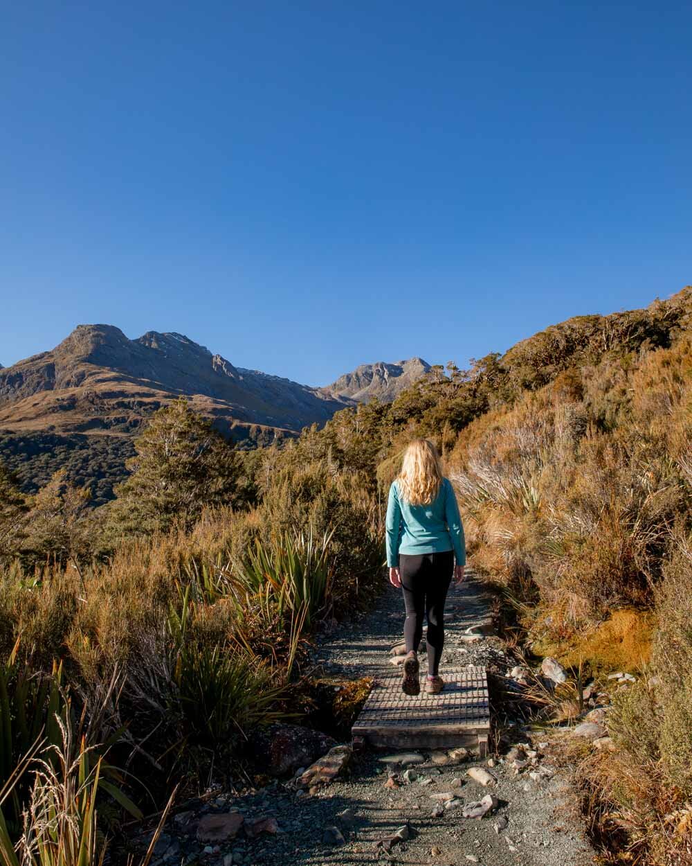
At the 2.4km mark the trail flattens and you start to get some views of the mountain tops. It’s then just 300m to the turn off which will take you off the main Routeburn Track and up to Key Summit.
From the turn off, it’s just 700m to the top and the views get better the higher you climb. The track continues to switchback and it’s never overly steep. You’ll soon see a loo with a view, this part of New Zealand has a crazy number of toilets in incredible spots!
It took us an hour at a leisurely pace to reach the Key Summit Alpine Nature Walk, which is the short loop track taking you around the summit.
The Key Summit Alpine Nature Walk
The next part of the walk is definitely the highlight. I loved the mossy forest, but the views and the tarns along the nature walk are just spectacular.
There are also information panels along the way, which give you an insight into how the landscape was formed. There are some barely noticeable uphill sections but it’s generally very easy.
There’s a very short rocky patch to get up to the first tarn and then the walk continues on the same easy trail you’ve had up to this point - only better, with lots of picturesque boardwalks.
The first tarn is the largest and backed by incredible snow-capped mountains. On a still day you would get some great reflections in the water.
There are several smaller tarns as you continue the loop which were all frozen on our visit in winter.
You’ll then come to a turnoff for the view of Lake Marian.
To be honest, it’s a very distant view and if the lake is in shadow you won’t really see it at all. However, it’s still worth stopping by as the whole mountain scene is gorgeous - with or without the lake.
Lake Marian in shadow
After the lookout it’s yet more stunning boardwalk, this time through a small patch of beautiful mossy forest, before you have completed the loop and are ready to head back down to the car park.
Completing the trail
Once you’ve walked 700m back down to the junction with the main Routeburn Track, you can either retrace your steps or take a 10 minute detour to check out Howden Lake.
We’d already visited the lake so didn’t go this time, but if you haven’t, it’s definitely worth taking a look (it does involve a bit of downhill, but nothing major).
If not you retrace your steps to the car park. The well maintained trail means the descent is a breeze.
All in all the Key Summit Track is a fantastic, relatively easy walk which rewards you with some spectacular mountain scenery and the chance to experience just a little of the iconic Routeburn Track.
If you’re heading to Milford Sound next, we have a detailed guide on the best things to do there.
Essential information about the Key Summit Track
Trailhead parking
The walk begins at The Divide where you will find a free car park with no time limit. It’s the start or end of the Routeburn Track so there are plenty of toilets available and a fair amount of spaces.
It’s 85km and roughly an hours drive from Te Anau and 30km and 30 minutes from Milford Sound.
The Key Summit Track in winter
At certain times in winter you might experience snow and ice on the track. We didn’t have much ice, but there were patches that lingered in places which didn’t get much sun. If you want up to date track conditions for your visit you can call the DOC office in Te Anau.
This post may contain affiliate links, meaning at no additional cost to you, that we will earn a small commission if you click through and decide to make a purchase. This helps towards the costs of running our website. Thanks for your support.

